BENTHIC COMMUNITIES
PHOTOQUADRAT SURVEYS
Image based photoquadrat studies are used to document the percent coverage of organisms inhabiting the benthos. At each island, photoquadrat transect images will be taken and analyzed using point-count software. The methods used here are directly comparable to those employed by research and monitoring communities and represent a rapid and reliable method to describe benthic community occupancy.
LARGE-AREA SURVEYS
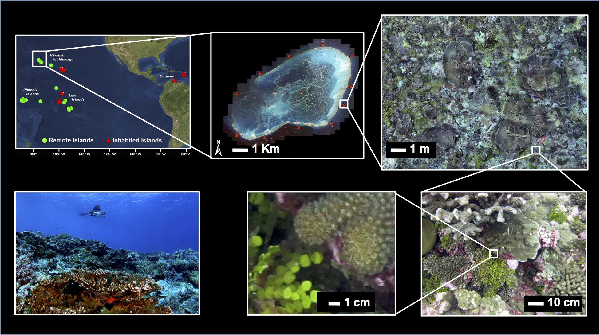
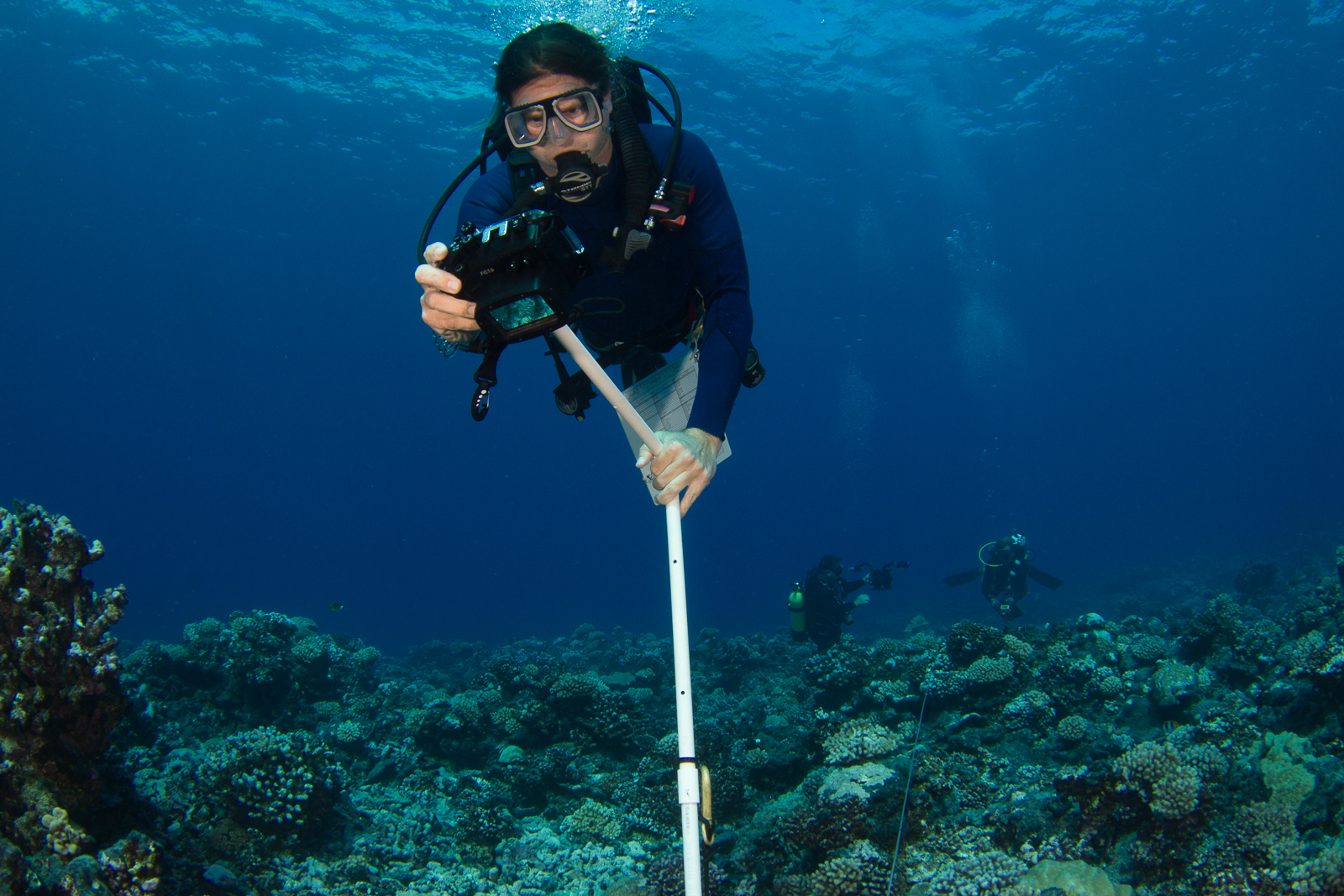
To collect more detailed demographic and spatial information on the benthic communities, we employ a large-area imaging approach. At each island 6-8 100m2 plots are established and georeferenced, enabling repeat surveys of the exact same area over time. Within each plot we capture 2000-3000 individual images (see image collection procedure below) which are then combined using structure-from-motion software to create detailed 3D models of the benthos. In addition to 3D visualizations, we also use our software to create top-down, distance corrected 2D models similar to satellite imagery. Once the models have been created we use custom visualization and analytical software developed by team member Vid Petrovic to visualize models and extract spatial ecological information.
We revisit each plots after 1-2 years, allowing us to watch life-death processes and track the fates of thousands of individual organisms. With this information we then build detailed spatial-demographic models. By combining this information with data collected on other components of the community, we hope to increase our understanding of the factors controlling reef development across physical and ecological gradients.